Transportation and Land Use Advocacy - 3DStreet
Open 3DStreet

Solutions for Land Use and Transportation Advocacy

Visualize your community's future with powerful 3D tools that help build support for safer streets, sustainable transportation, and vibrant public spaces.


TRUSTED BY

Greater Philadelphia Bicycle Coalition
Hayes Street Promenade
Transport Oakland
BikeEastBay
Mission Bay Neighborhood Association

Compelling Visualizations

Create powerful before-and-after street transformations that clearly communicate your vision to community members and decision makers in minutes, not days.

No Technical Skills Required

Empower volunteers and staff members to create professional-quality visuals without specialized design training or expensive software licenses.

Community Engagement

Transform abstract plans into interactive 3D visuals that residents can understand and respond to, building stronger support for your initiatives.

Influence Decision Makers

Present compelling visuals at public meetings, on social media, and in presentations to help officials understand the positive impact of your proposals.

Rapid Iteration

Quickly develop and test multiple design alternatives based on community feedback, allowing your vision to evolve through collaborative input.

"3DStreet allows ordinary citizens to create realistic, high quality proposals, without requiring a background in urban planning or landscape architecture. For Hayes Promenade, I created an initial 2D design in Streetmix, imported it into 3DStreet, built it out in 3D space, and finally exported that into Adobe Aero. This resulted in a complete augmented reality demo, where users can walk down our street with their phones, experiencing our proposal in first-person."
- Andrew Seigner, Hayes Promenade

Powerful Tools for Advocacy Organizations

Real-World Context

Ground your proposals in familiar locations with Google 3D Tiles, OpenStreetMap data, and satellite imagery. Help your community visualize changes to their own streets and neighborhoods.

Learn More

Tactical Urbanism Features

Visualize quick-build solutions like parklets, planters, bollards, and traffic diverters that can be implemented at low cost while building support for permanent changes.

Learn More

Shareable Formats

Export your designs as images, videos, or interactive AR experiences that can be shared on social media, embedded in websites, or presented at community meetings.

Learn More

How Advocacy Organizations Use 3DStreet

Neighborhood Associations

Visualize street improvements that enhance safety and livability, build resident support for traffic calming, and effectively communicate local priorities to city officials.

Transportation Advocacy Groups

Create compelling visuals of protected bike lanes, transit priorities, and pedestrian improvements to build public support and influence transportation plans and policies.

Community Development Organizations

Visualize how public space transformations can enhance neighborhood vitality, engage residents in participatory design processes, and build support for place-based investments.

"We use 3DStreet all the time to propose concepts to decision-makers and to help our members and advocacy partners visualize what a redesigned street could look like. With the Pro version we've been able to take that even further by importing readily available 3D models such as pedestrian bridges and placing them into the realistic world of Google Map tiles."
- John Boyle, Research Director, The Bicycle Coalition of Greater Philadelphia

Case Studies

Community-Led Design of Safe School Streets

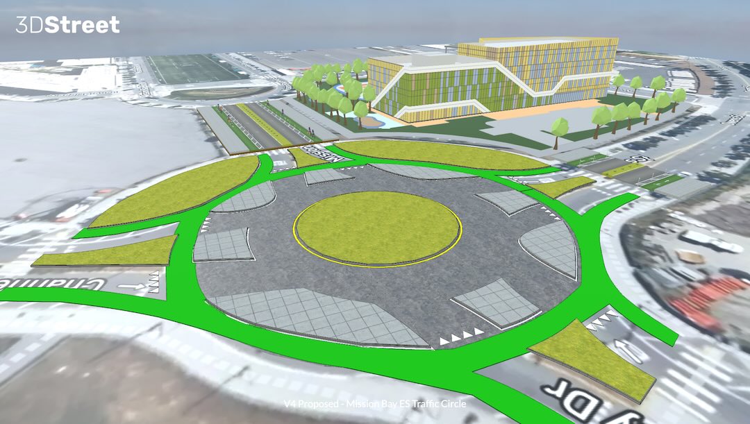
In San Francisco's Mission Bay neighborhood, community leaders used 3DStreet to create a 3D digital twin of proposed street safety improvements around a new elementary school. The visualization helped them effectively advocate for the project with city officials and stakeholders, transforming a vehicle-centric traffic circle into a safer space for students and families.

Read Case Study
Mission Bay Elementary School traffic circle visualization

Community-Led Planning Trends at Caltrans

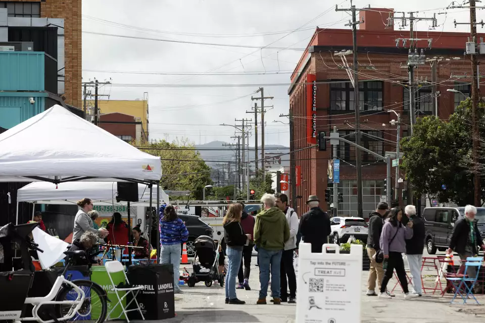
At the Caltrans Equity Advisory Committee meeting, transportation professionals and community leaders discussed the global trend of community-led planning. 3DStreet's visualization tools were highlighted as a solution to bridge the gap between agencies and communities, helping residents better understand and participate in the planning process for their streets and public spaces.

Read Case Study
Community-led planning presentation slide

Ready to Amplify Your Advocacy Impact?

Join the growing community of advocacy organizations using 3DStreet to build public support and influence decision makers for safer, more sustainable, and more vibrant streets.